How it works
From official alert to affected asset
Three steps, repeated every hour for every location you track.
-
01
Watch
USGS, the National Hurricane Center, JTWC, NASA FIRMS, national weather and flood agencies, and GDACS as a cross-peril tripwire. Every feed's health is on the dashboard, so a silent feed is never mistaken for a quiet day.
- 12 official sources
- Polled hourly
- Feed health on the dashboard
-
02
Match
Each event's footprint is matched against every location you track, including near misses inside a buffer you control.
- Intensity contours
- Wind radii
- Fire fronts
- Warning areas
-
03
Triage
Events are banded by how likely they are to cause damage, with the affected assets and the value in the footprint, so you know where to act first.
- Red
- Amber
- Green
Alerts
Hear about it without watching the board
-
Available now
Email alerts
When an event puts your assets at risk, your team gets an email: the event, its band, the value exposed and how many of your assets it reaches, with a link straight to the detail.
-
Coming soon
Your alert timing
Choose how quickly alerts reach you, from the moment a threat is found to a single daily summary.
-
Coming soon
SMS alerts
The same alert as a text message, for the people who need to know when they are away from their inbox.
-
Coming soon
We call you
For the most serious events, a phone call to your on-call contact, so a red alert is never left unread overnight.
What we monitor
The perils that matter most, from the agencies that issue the warnings, watched from the ground and from space
See coverage by country →-
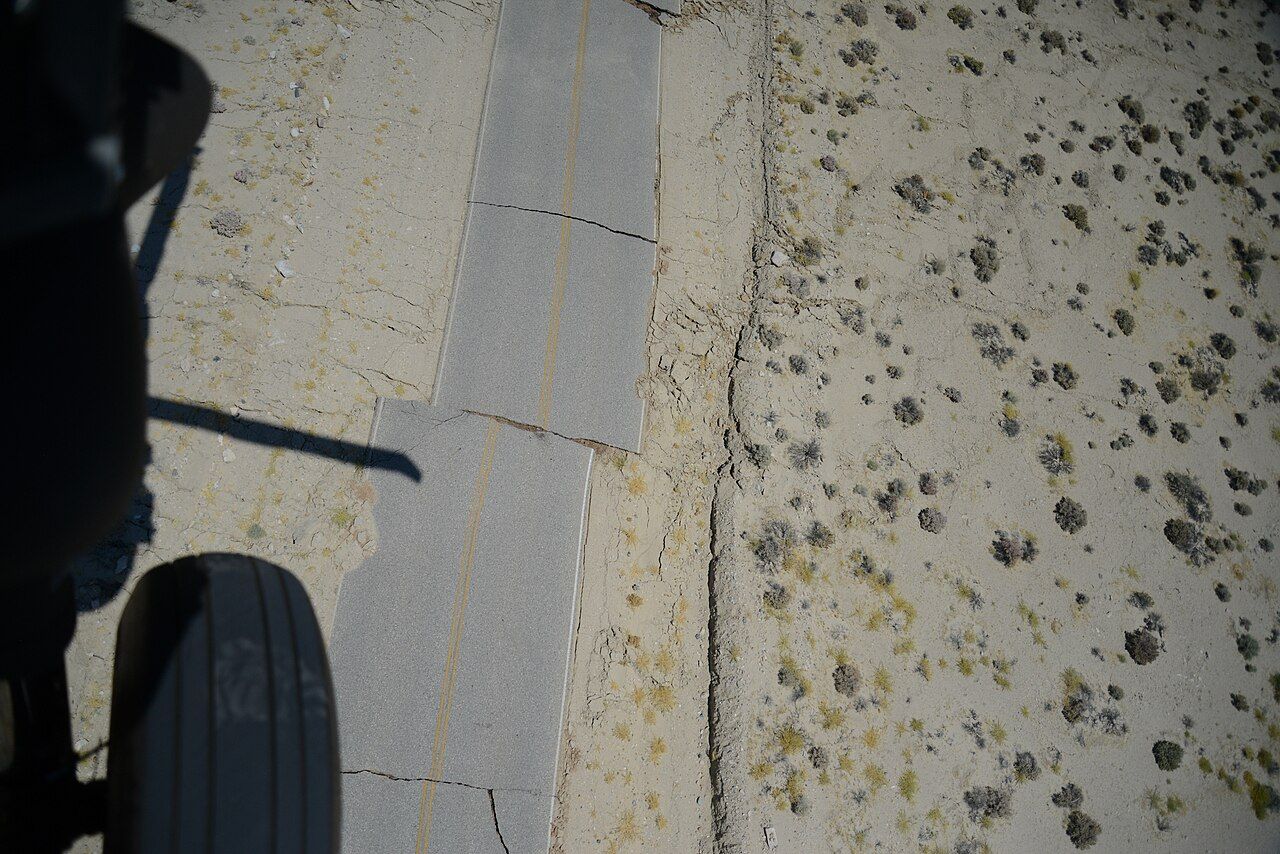
Earthquake
USGS ShakeMap intensity contours, worldwide and at sea.
Photo: Ken Hudnut, USGS
-
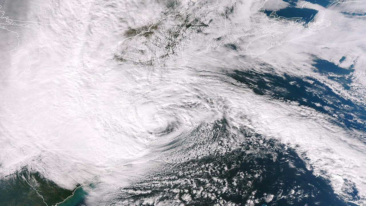
Hurricane & typhoon
NHC and JTWC forecast wind radii, in every basin.
Photo: NOAA
-
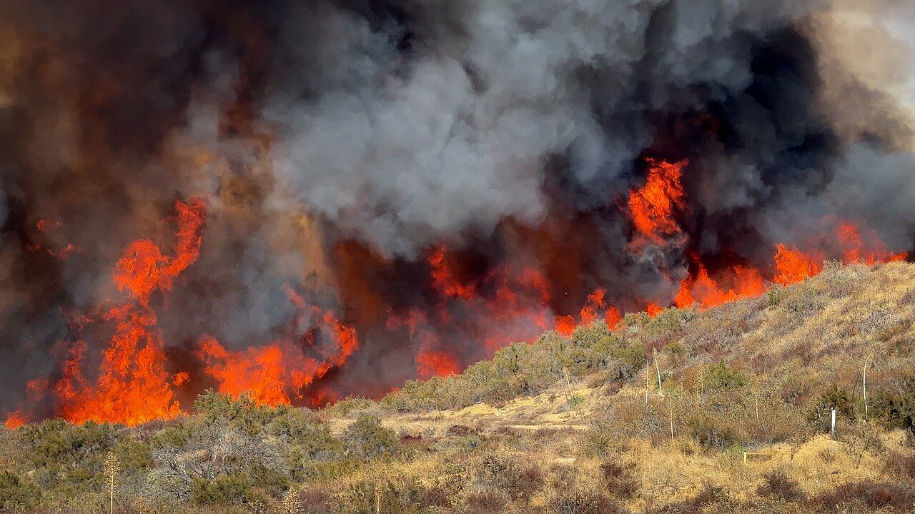
Wildfire
NASA FIRMS satellite detections, clustered into fire fronts.
-
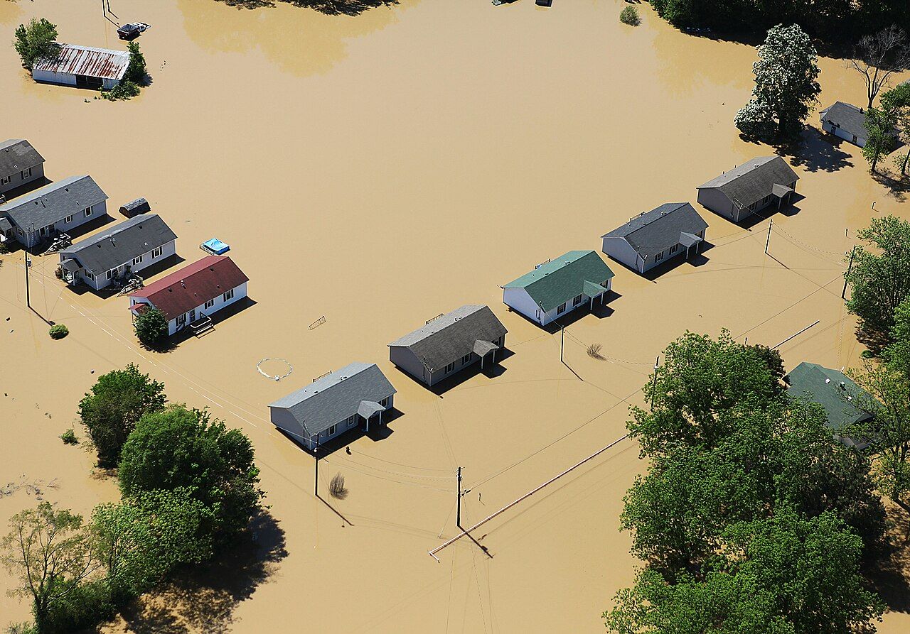
Flood
National flood warnings, mapped to the areas they name.
Photo: David Fine, FEMA


Also tracked
For agents
On the dashboard, or in your AI assistant
Everything is on the dashboard: the live event board, maps of each footprint, and the assets it touches. Or connect your AI assistant, or any MCP client, to Hazard and ask "are any of our sites at risk from this storm?" in plain language. The assistant reads the same matches and bands as the dashboard, scoped to what your team can see.
Browsing agents can read this site directly too. In browsers that support WebMCP, every public page offers tools that describe what we do, check coverage for any country and peril, and explain how to connect.
MCP endpoint
https://hazard.anthonyreid.co.uk/mcp
Add this URL to your assistant as a custom connector (remote MCP server) and sign in. Clients that can send headers can use an API key with MCP access instead.
WebMCP tools on this site
describe-service: what we monitor, and from which sourcescheck-coverage: cover for a country, peril by perilget-mcp-connection: how to connect, and the tools available
Works with Microsoft Copilot, ChatGPT (OpenAI), Claude, Gemini and other AI assistants that support the Model Context Protocol.
For developers
Build on the API
A versioned REST API for your hazard events and your portfolio. Keep your assets in step with your own systems, and pull live events into your own tools.
- Live hazard events: each event with its triage band, the value it touches, and its footprint as GeoJSON.
- Portfolio sync: add assets one at a time or in bulk batches, check a batch's progress, look assets up by your own reference, and remove them.
- Scoped API keys: read-only by default, with write access a separate opt-in, and an endpoint that reports exactly what a key can reach.
JSON throughout, cursor pagination, and standard RFC 9457 error responses. Create keys under Settings once you have an account.
Example request
curl https://hazard.anthonyreid.co.uk/api/v1/triage/events \
  -H "Authorization: Bearer $API_KEY" \
  -H "Accept: application/json"
Endpoints
- GET /api/v1/triage/events
- GET /api/v1/assets
- POST /api/v1/assets · /api/v1/assets/batch
- GET /api/v1/me
Built for regulated teams
Built for regulated teams
Honest about the gaps
The coverage atlas shows every peril in every country, including where nothing monitors it yet, so a quiet map is never mistaken for a safe one.
Built-in compliance
Audit logging, self-service data export, and erasure requests: the record-keeping a regulated business needs, there from day one rather than added after the first audit.
Ready to operate
Security headers, rate limiting, health checks, alerting, and off-platform backups with a real, scheduled restore drill.
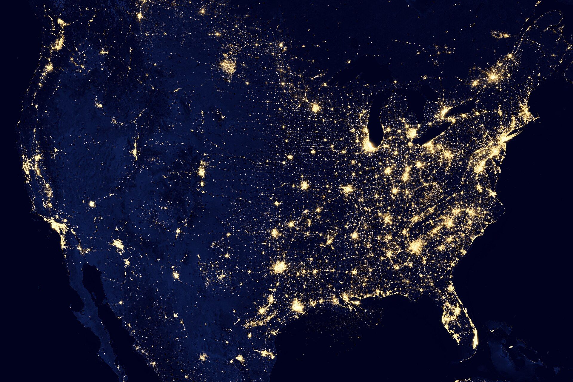
See it against your own locations
Upload your locations and we match every live event's footprint against them.
Photo: NASA Earth Observatory
